A WMS (Web Map Service) is a standard protocol used for serving maps over the internet. It allows clients to request geospatial information, such as images or maps, from a remote server. These services are typically used to overlay specific data on top of a base map, providing context and additional information for various applications, such as geographic analysis or mapping.
A WMS service can be painted over a map in various mapping libraries or platforms such as Cercalia, Mapbox GL, OpenLayers, Leaflet, or Google Maps. These libraries allow for the integration of WMS layers on top of the maps, enabling users to interact with and visualize the spatial data directly on their map interface.
In addition to WMS, the same services can also be provided in MVT (Mapbox Vector Tiles) format. MVT is a more efficient and flexible format for rendering vector data directly on maps, allowing for smoother interaction and faster performance when dealing with large datasets, as the data is transmitted in smaller, more optimized chunks compared to raster images from WMS.
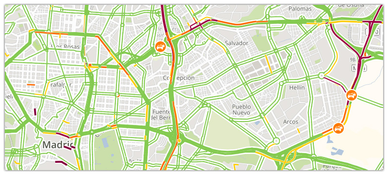
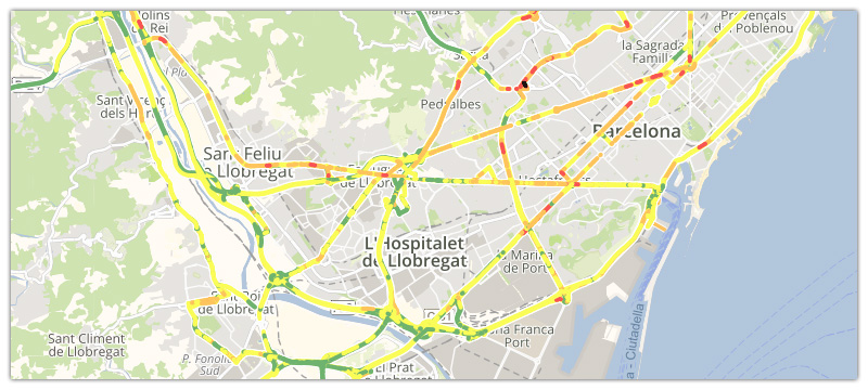
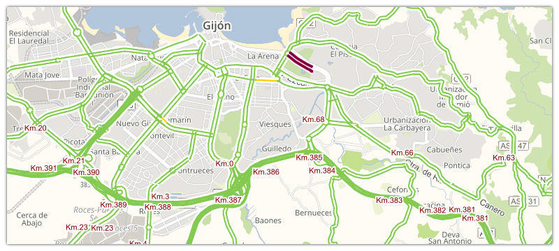
Traffic layer - real time
Traffic layer - forecast
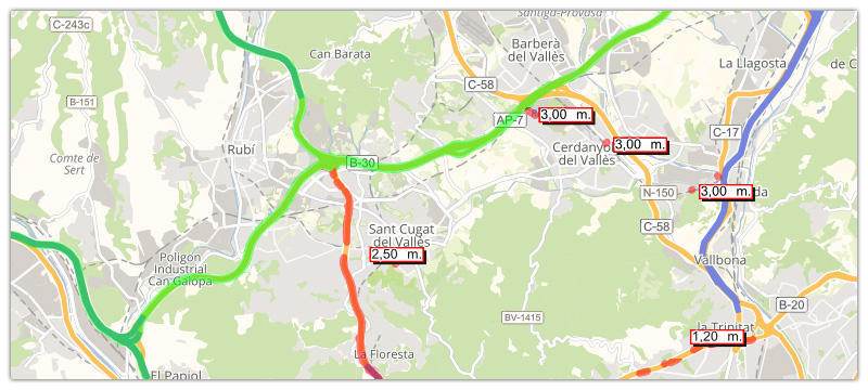
Road restrictions - Truck attributes (weight, height, length, etc)
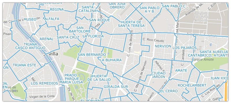
Neighborhoods / subregions layer
Road milestones layer (Iberia & France)
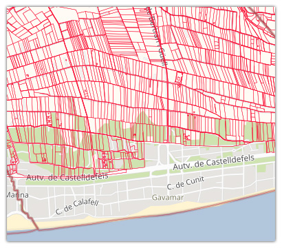
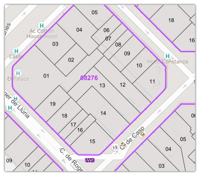
Urban Land Registry
SIGPAC parcels